About:
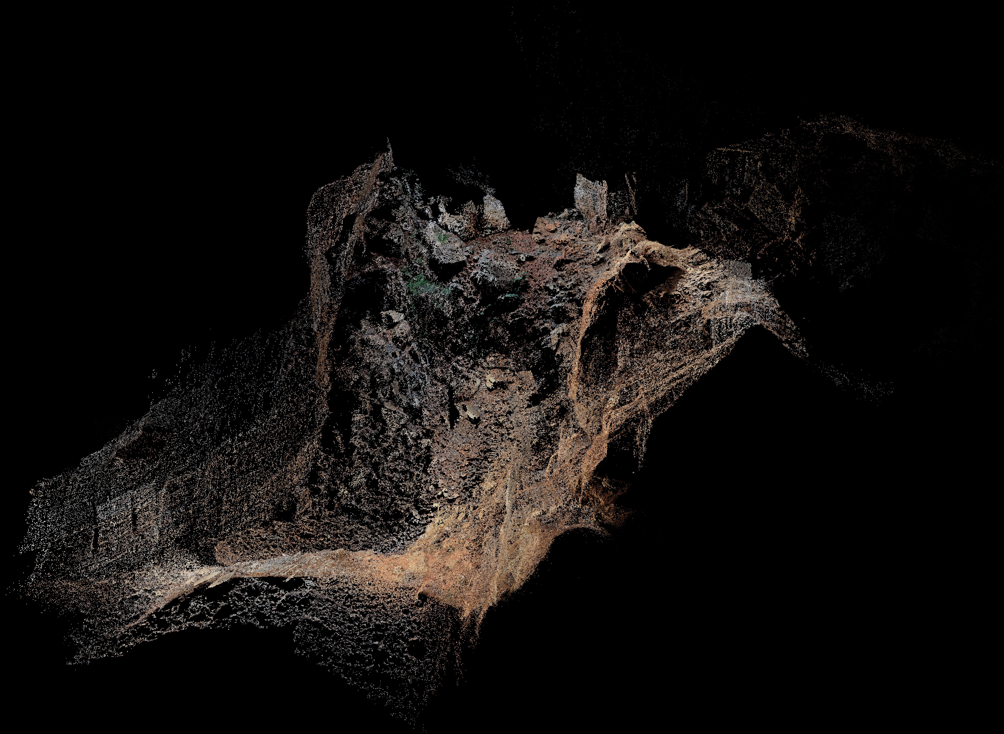
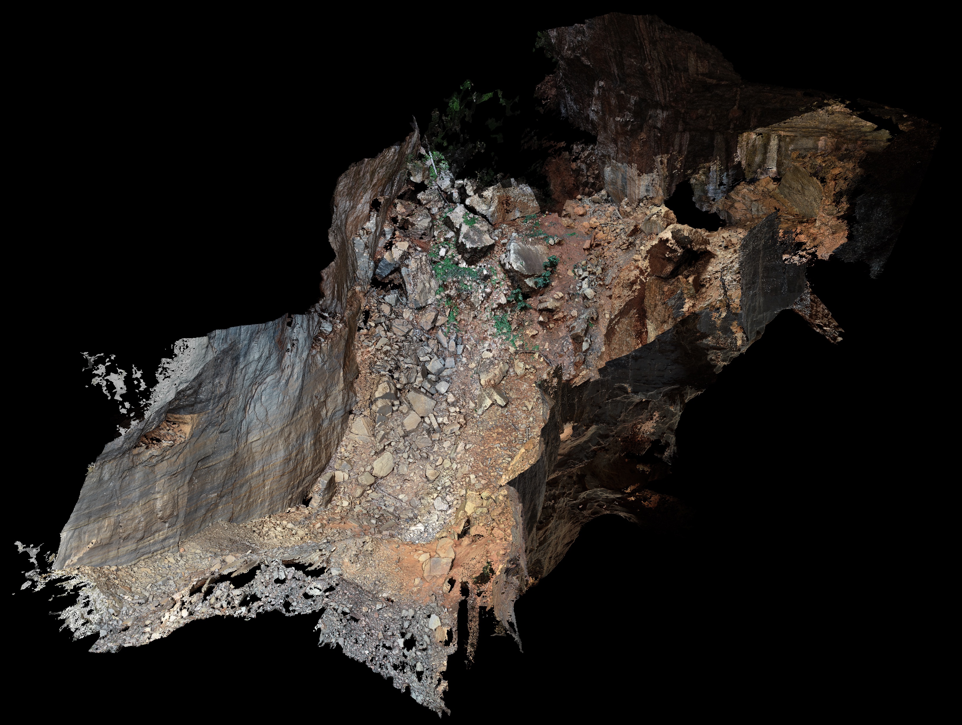
In this project, we are mapping a large cave in the Peruaçu Caves National Park Structure from Motion-Multi View Stereo (SfM-MVS).
The selected cave is called Arco do André (Andre’s Arch), and with a main room almost 100m-high, 60m-wide, it’s the perfect place for trying this technique, as there are plenty of natural light and lots of space for flying without crashing the drone.
As far as we know, this is the first cave to be mapped/modelled using a drone. Lasers have been used quite a lot (even we did it) and SfM-MVS with ‘terrestrial’ cameras (handheld, tripod) as well. But not drones!
The initial results are encouraging, and we hope to be able to go back for more surveys to complete the 3D model.
Grant:
FAPESP #2017/50085-3 - PIRE: climate research education in the Americas using tree-ring speleothem examples (PIRE-CREATE).
FAPESP #2016/06628-0 - Application of high-resolution digital elevation models in geology and geomorphology.

