Quick links: about · midia · publications · datasets · spammers · grants · collabs
About:
In this project, we are mapping caves using LiDAR and Drones.
Area 1:
One target is the touristic sector of the “Devil’s Cave” with Terrestrial Laser Scanner.
The Devil’s Cave, whose official name is “Tapagem Cave”, was the first Brazilian cave to be fitted with artificial illumination and concrete pathways and stairs. This kind of infrastructure for tourism, along with a nice reception center and restaurant, attracts thousands of visitors every month.
Although the entire cave is over 7km long, only the first 600m are accessible by the pathways (this is what we call the ‘touristic sector’). Recent policies implemented by the Park administration opened new ‘adventure circuits’ for tourism, stranding away from the concrete pathways and venturing into the ‘river sector’ or the ‘Erectus Hall’.

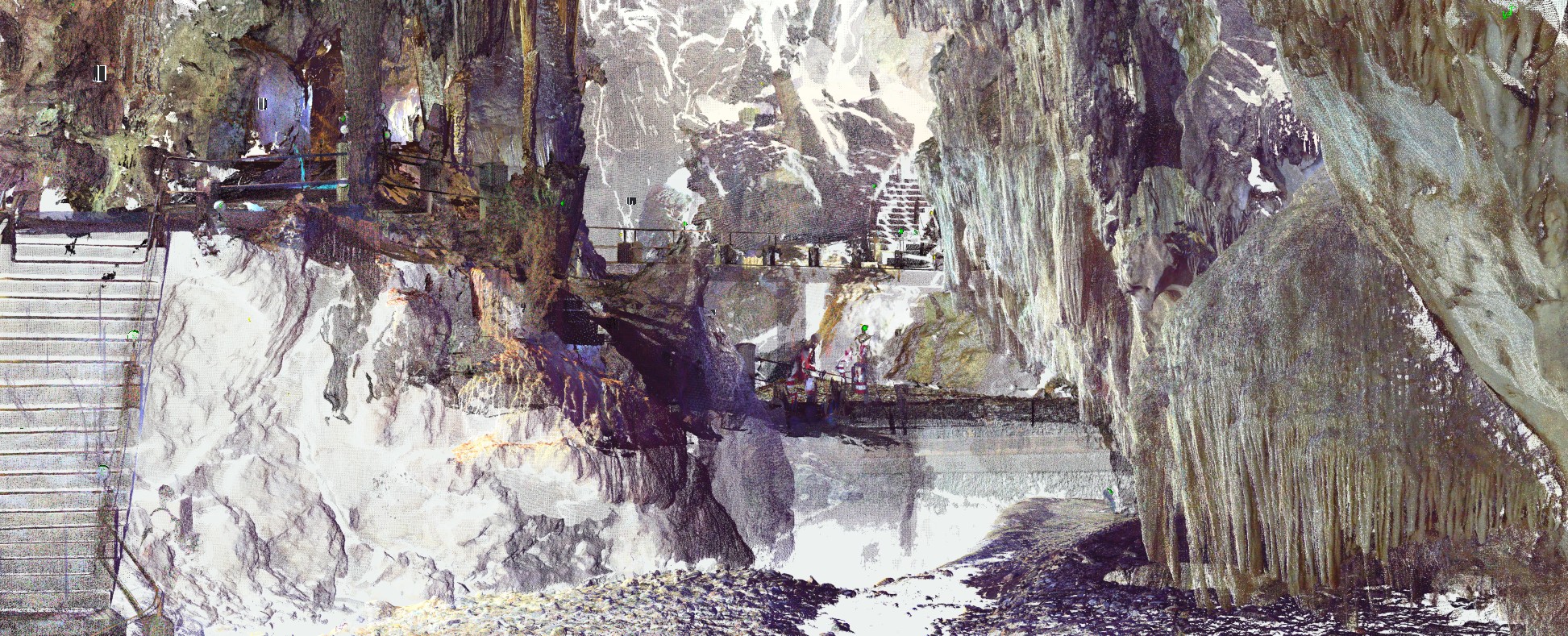
Point cloud viewed from inside the cave
And here is an interactive 3D model of the cave (via sketchfab).
A 3D model of a large speleothem.
And a short video of the point cloud.

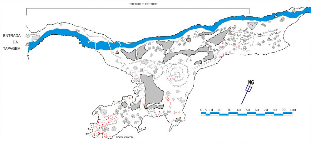
Full map of the Tapagem Cave (SBE)

Touristic sector the Tapagem Cave (SBE)
Area 2:
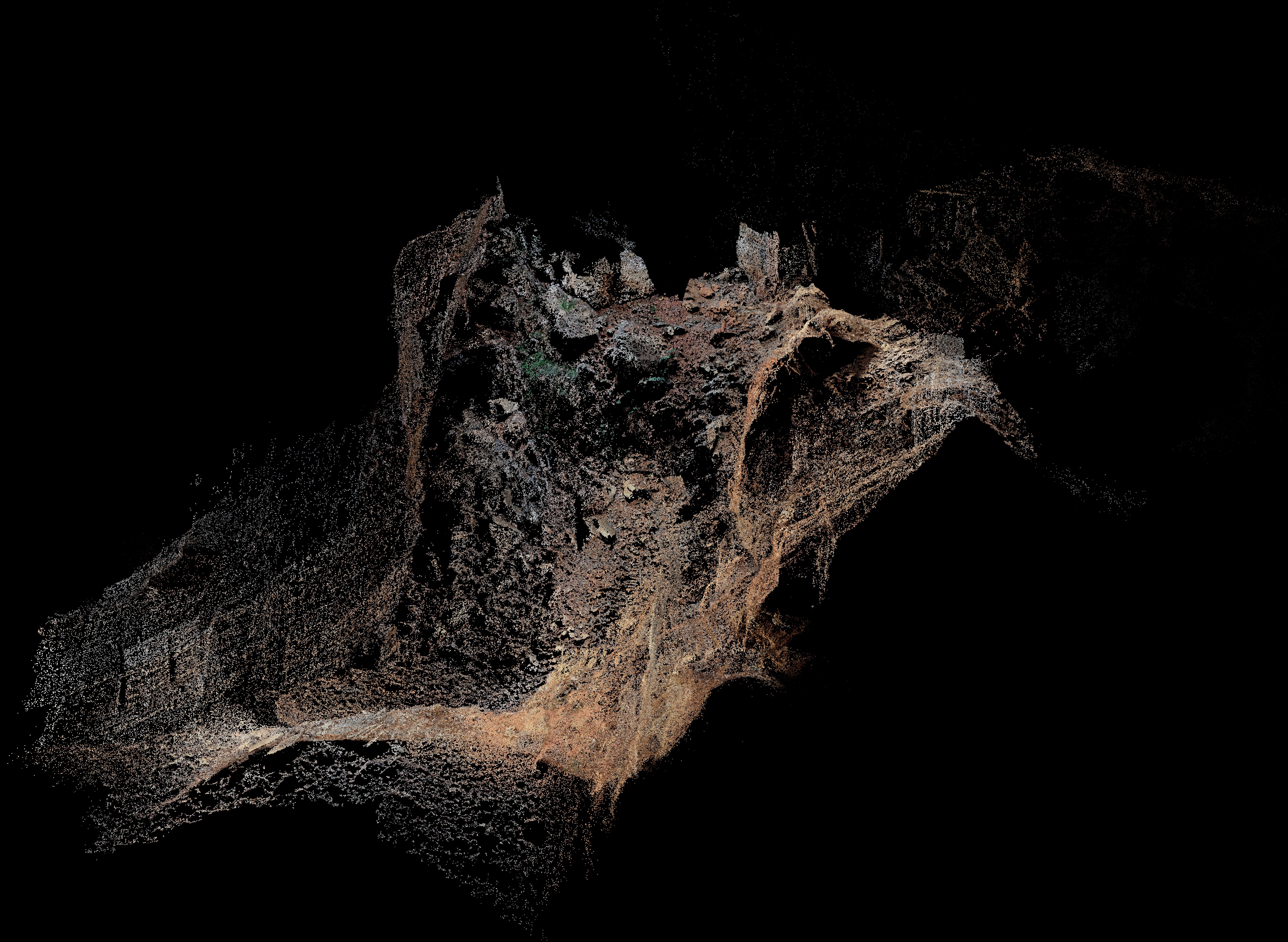
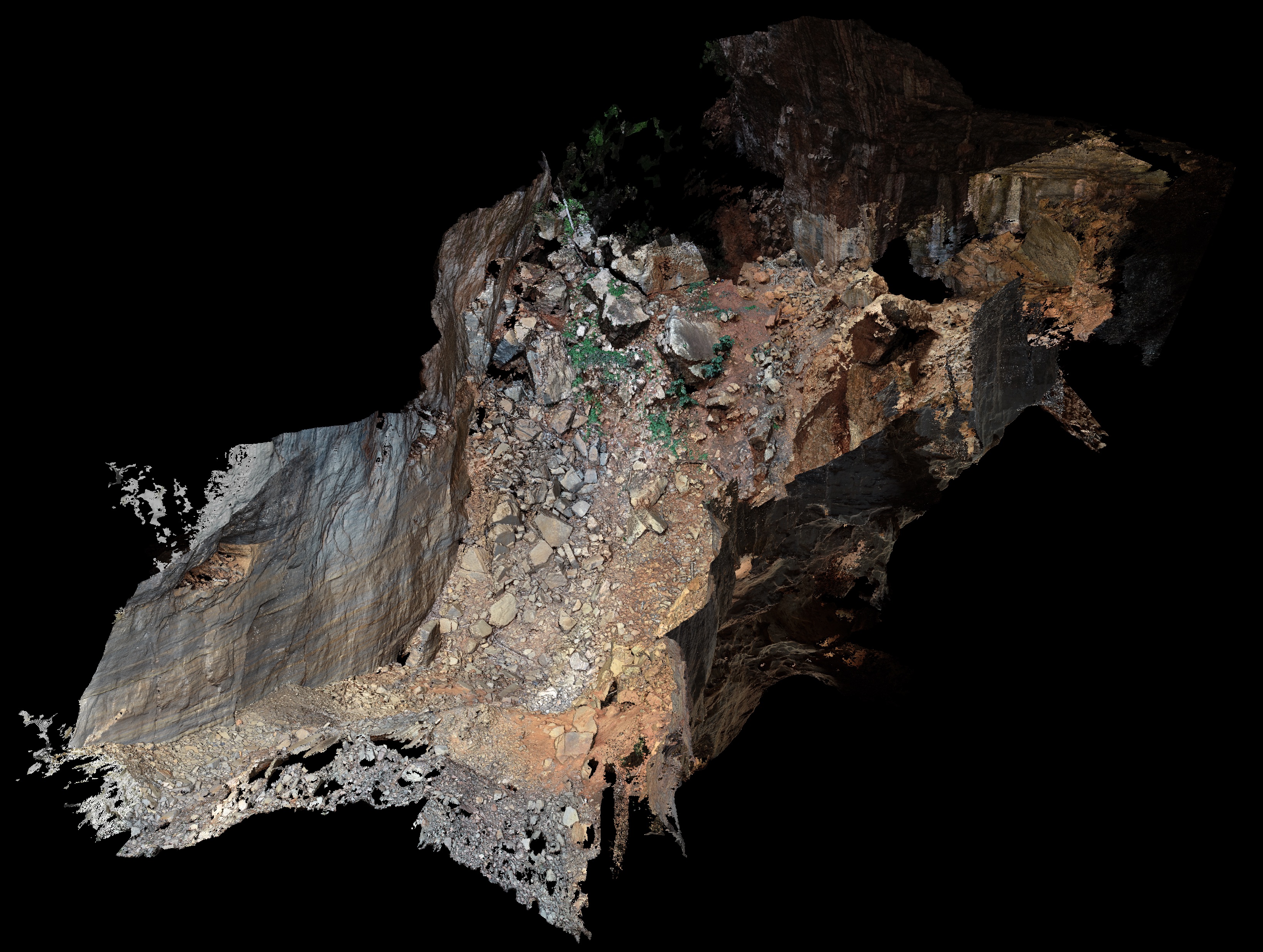
Here, we are mapping a large cave in the Peruaçu Caves National Park Structure from Motion-Multi View Stereo (SfM-MVS).
The selected cave is called Arco do André (Andre’s Arch), and with a main room almost 100m-high, 60m-wide, it’s the perfect place for trying this technique, as there are plenty of natural light and lots of space for flying without crashing the drone.
As far as we know, this is the first cave to be mapped/modelled using a drone. Lasers have been used quite a lot (even we did it) and SfM-MVS with ‘terrestrial’ cameras (handheld, tripod) as well. But not drones!
The initial results are encouraging, and we hope to be able to go back for more surveys to complete the 3D model.
Midia Coverage:
Publications:
-
Grohmann, C.H., Zacharias, G.S., Garcia, G.P.B, Barale, F., Almeida, F.V., Arnone, I.S., 2019. Mapeamento e modelagem 3D do setor turístico da Caverna do Diabo (SP) com Laser Scanner: resultados preliminares. In:35 Congresso Brasileiro de Espeleologia, Bonito,MS. download: paper
-
[blog post] - 3D cave project featured in FAPESP News
-
[blog post] - TLS mapping of Devil’s Cave
-
[3D model] - A simplified 3D model of the cave (no textures) available at Sketchfab
-
[3D model] - 3D model of a large speleothem available at Sketchfab
-
[video] - First video of the simplified point cloud (17 million points)
-
[video] - New video with the full point cloud (1 billion points)
Datasets:
A list of all our datasets is available in the Datasets Page
Spammers:
Gabriel Z. Sugiura (undergrad 2018) - For his undergraduate degree monograph, Gabriel worked with TLS data to produce a 3D model of the cave. With this model, he calculate the volume of the halls as well as the size and weight of some very large speleothems. The final point cloud provided an interesting comparison with the existing maps of the cave.
Guilherme P. Bento Garcia (PhD) - Guilherme acted as co-advisor to Gabriel and worked closely with him to learn how to process the TLS data and extract all the information we wanted.
Grants:
FAPESP #2017/50085-3 - PIRE: climate research education in the Americas using tree-ring speleothem examples (PIRE-CREATE).
FAPESP #2016/06628-0 - Application of high-resolution digital elevation models in geology and geomorphology.

