Published: Oct 17, 2019 by SPAMLab
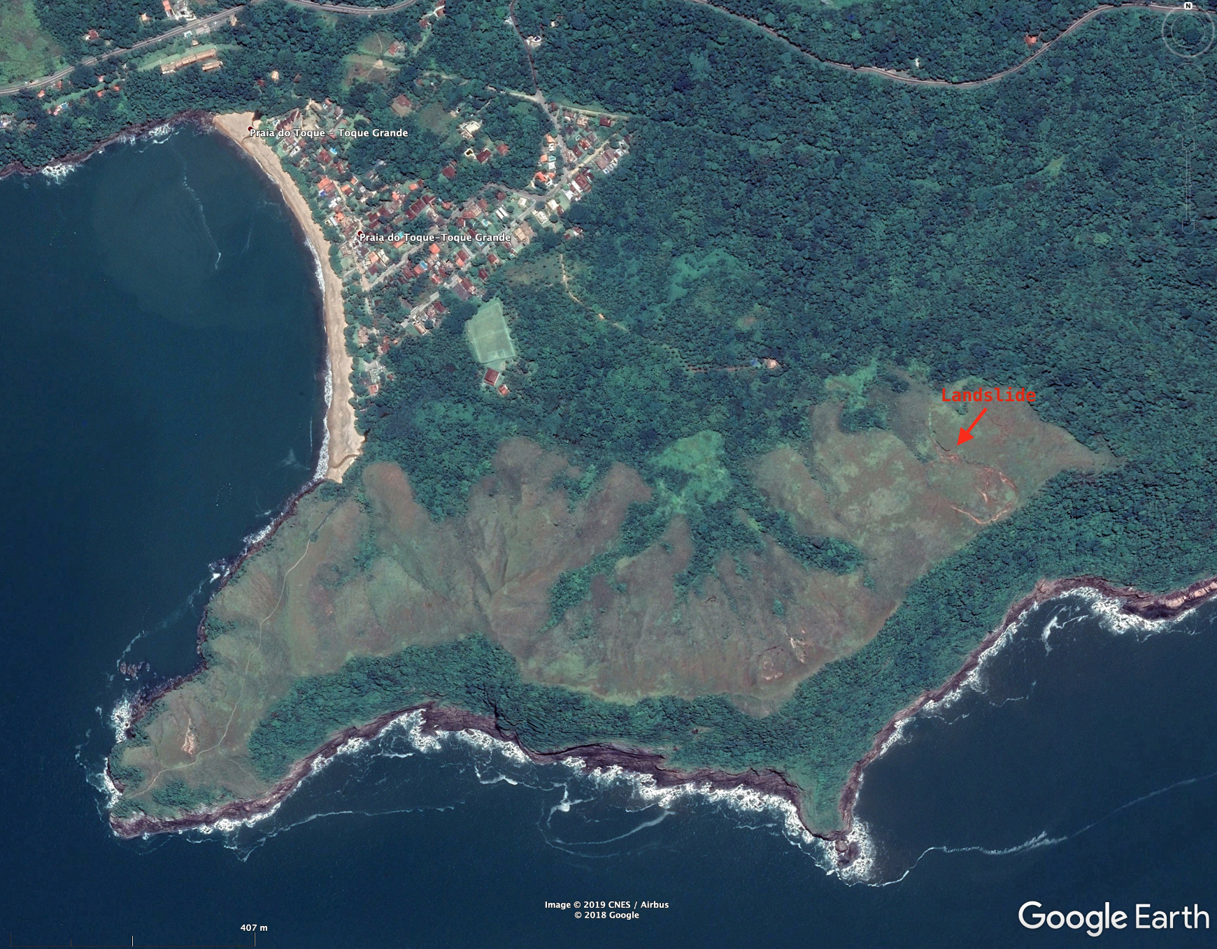
The other day (October 16/2019) we had a nice field trip to the northern coast of São Paulo State. We wanted to check a landslide spotted on GoogleEarth, see if there was access to it, if it was a good place for a drone survey, etc.
|  |
|:–:|
| The Toque-Toque Grande Landslide, image from GoogleEarth, click here to open in Google Maps |
|
|:–:|
| The Toque-Toque Grande Landslide, image from GoogleEarth, click here to open in Google Maps |
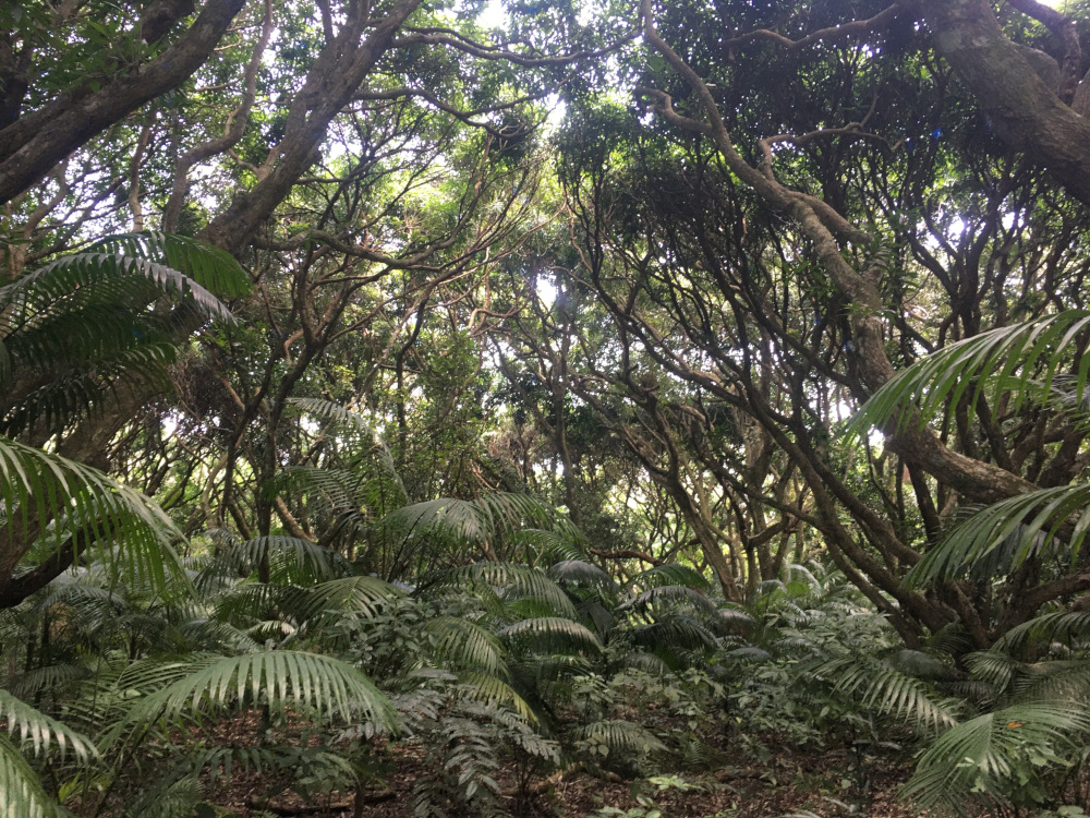
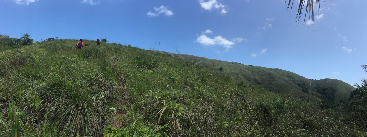
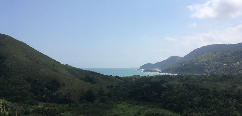
The landslide is located in the southern portion of the São Sebastião City, close to the Toque-Toque Grande Beach. We asked permission to the land owners and accessed the landslide by a trail that goes trhough a nice open ‘forest’ of mango trees and then on open field. The view of the coast are awesome!
 |
|---|
| Mango trees forest (click to enlarge, photo by C.H.Grohmann) |
 |
|---|
| Going up… (click to enlarge, photo by C.H.Grohmann) |
 |
|---|
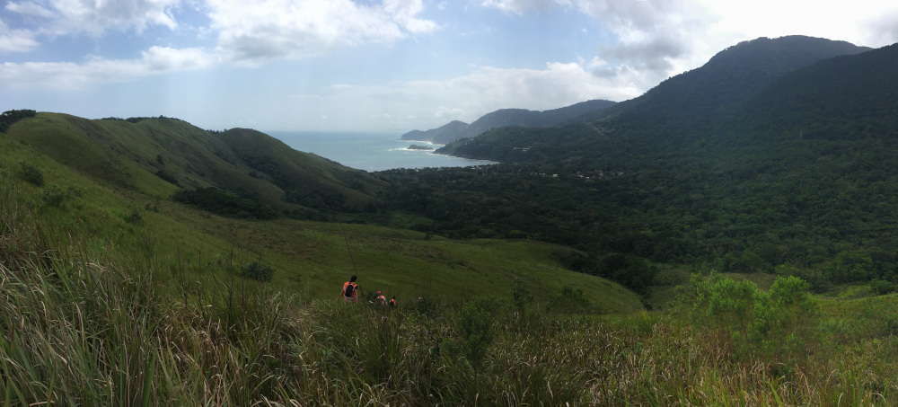
| View from the hillside to the Toque-Toque Grande Beach (click to enlarge, photo by C.H.Grohmann) |
 |
|---|
| View from the hillside to the Toque-Toque Grande Beach (click to enlarge, photo by C.H.Grohmann) |
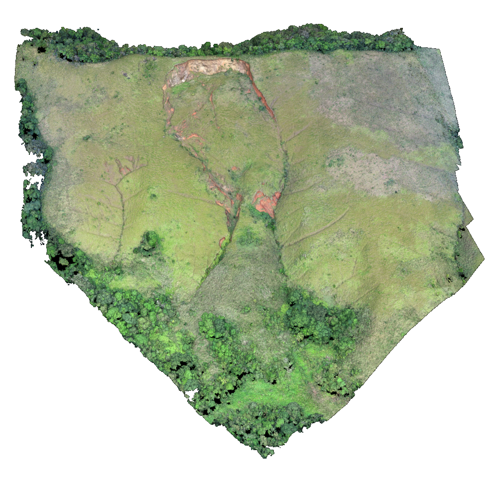
The landslide is about 300x100 meters and from the historical images of GoogleEarth we can see that it was just a linear erosion back in 2002, with constant changes until today. It will make a great subject for a future study (anyone looking for a Master’s Thesis project?).
We only had time for a quick survey with the drone, but hope to go back soon for a longer stay.
 |
|---|
| Preliminary 3D model of the landslide (click to enlarge) |