Published: Jan 21, 2019 by SPAMLab
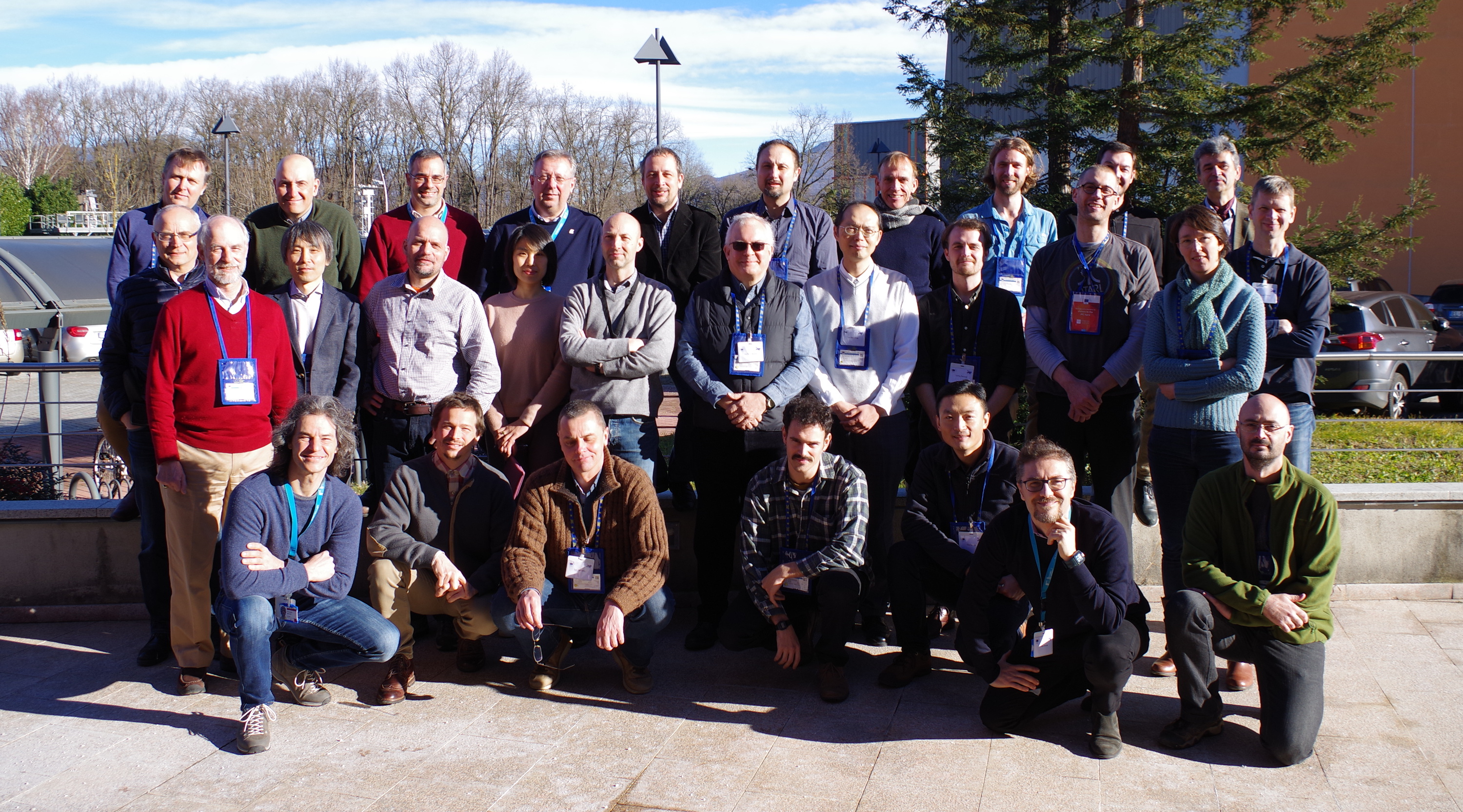
For 3 days in January 2019, 25 researchers from all over the world gathered in the Joint Research Centre of the European Commission (Ispra, Italy) to discuss pressing questions about Global Digital Elevation Models (GDEMs).
Digital Elevation Models are essential data for any research related to the physical environment. The release of SRTM back in 2005, was a game changer for the Geomorphometry community. Suddenly, we had high-quality elevation data for most of the globe. In countries with poor topographic coverage, SRTM rapidly became the main source for elevation information, and still is widely used.
More recently, other global datasets were released to the public. ALOS AW3D30, produced by the Japan Space Agency (JAXA) is based on photogrammetry of optical satellite images, and although the first versions had many problems with clouds and image matching, version 2.1 is a great improvement and seems to be one of the best freely available elevation data at the 30m pixel size (there is a 5m version, but since it’s a commercial product it’s hard to find any publication about it).
NASA has been working on a full reprocessing of SRTM data to be released as NASADEM, while the German Space Centre (DLRlink), in a public-private partnership with Airbus developed TanDEM-X, a global DEM with 12m pixel spacing based on data X-band Radar data collected by two satellites flying in a carefully controlled orbit. Although the 12m data is available for the scientific community (through the submission of a research proposal), it was the announcement of a free version with 90m pixel spacing that caught the attention of the wider community of DEM users.
The SRTM mission was flown in 2000, and ALOS AW3D30 is made from images ranging 2009-2015???. A new dataset derived from accurate data and bearing a more recent timestamp opens a lot of possibilities, both in terms of updating reference data but also of change detection (deforestation, mining/urban expansion, etc).
If the multitude of datasets wasn’t enough, we see that the terminology about Digital Elevation Models is being mixed up in the documents produced by scientists, governments etc. Some people (like me) use DSM (Digital Surface Model) for a computer model (usually a raster) representing elevation, including the topographic surface and all natural and man-made features above it (cars, houses, forests) and use DTM (Digital Terrain Model) only when it represents the Earth’s surface without any vegetation or buildings (this is also called the ‘bare-Earth’ surface). Here, DEM is a generic term, meaning any of the previous models. The problem is that some people use DEM as a synonym for DTM, no to mention other ‘surfaces’ that we can derive from some datasets, like the Canopy Height Model (CHM, the difference between the DSM and the DTM).
With all these points in mind, the European Commission decided to organize the Global DEM Benchmarking workshop (WS-GDB). All participants were invited based on their experience with production, applications and accuracy assessment of DEMs. I was very happy to be invited and I see it as a recognition of the research I’ve been doing since my PhD.
The workshop was really great. We had three days of productive discussions, networking and also it was a nice opportunity to see some friends again. Now we will start working on a report of the meeting which will summarize our discussions and will be an important reference for those working with DEMs.
 |
|---|
| Participants of the Global DEM Benchmarking workshop |